
Property Management
Manage Environmental Risk and Emergency Response Efforts
Visualize Incoming Threats to Assets
Get visual details about storms and other extreme events affecting your assets via regularly scheduled alerts.
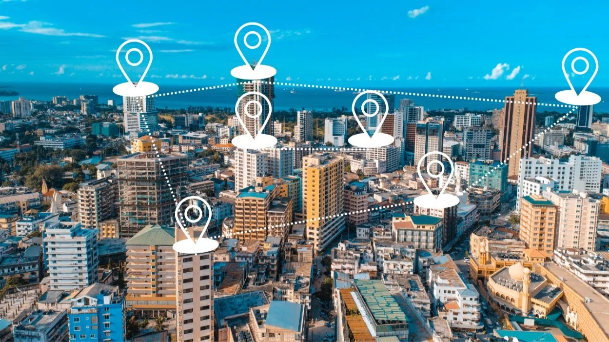
Property Managers upload portfolios with key data on each location organized by property type including vacancy status.
During any severe weather event the area and track of the storm is visualized on your map command center with your threatened asset in view.
Plan Restoration Efforts Using Satellite Imagery
After storms occur, restoration efforts can be planned using satellite imagery to assess and respond to properties with high damage.
Crowd sourced imagery overlays are integrated within hours of damage occurring, helping you understand what areas to focus on.
Efficient damage assessment saves you time and money by sending crews to the correct assets with the resources they need.
Communicate With Key Stakeholders
During the height of a disaster, communication with key stakeholders is crucial to ensure timely damage assessment and initiation of cleanup and repairs. Get recovery teams on site fast and alert insurance partners all with real-time map views of affected assets
Communicate with onsite property managers, maintenance staff, and recovery professionals using built-in search and damage locators
Portfolio Risk Management
Assess and quantify climate damage-related threats to your real estate portfolio. Utilize V-Alert to upload entire CRE Portfolios and track their condition in relation to storms and other risks. Assess property damage from anywhere in the world prior to on site inspections. Better understand general risk to your assets with map views of historical storm, flood, and disaster data going back in time as much as 20 years.
Single and Multi-family Rentals
As an operations manager for a national single or multi-family rental company, you are challenged daily with understanding risks to your properties. Earthvisionz has built software specifically designed to help respond to severe weather events and restore your properties to normal as quickly as possible.
Some of our relevant features include integrations with relevant sensors and cameras to detect flooding, water leaks, fires, and more. These data feeds are directly linked to each property icon along with granular data and any other relevant information.
Know at a glance if properties are occupied or vacant and what level of damage has occurred using customized icons.
Interested in how we can serve you in these or other industries?